
Tumuku Forest Reserve topographic map
Interactive map
Click on the map to display elevation.
About this map
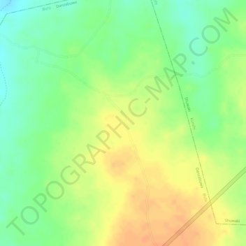
Name: Tumuku Forest Reserve topographic map, elevation, terrain.
Location: Tumuku Forest Reserve, Danzabuwa, Bichi, Kano, Nigeria (12.41205 8.14914 12.41215 8.14924)
Average elevation: 536 m
Minimum elevation: 515 m
Maximum elevation: 553 m