
Ketelhaven topographic map
Interactive map
Click on the map to display elevation.
About this map
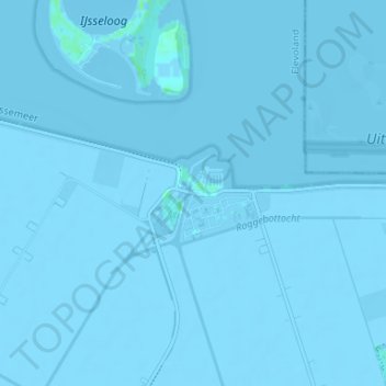
Name: Ketelhaven topographic map, elevation, terrain.
Location: Ketelhaven, Flevoland, Niederlande, 8251, Niederlande (52.55871 5.73878 52.59871 5.77878)
Average elevation: -3 m
Minimum elevation: -6 m
Maximum elevation: 5 m