
Jeur topographic map
Interactive map
Click on the map to display elevation.
About this map
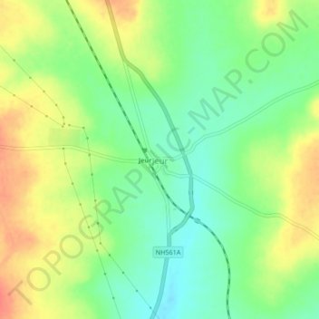
Name: Jeur topographic map, elevation, terrain.
Location: Jeur, Solapur, Maharashtra, 413202, India (18.23998 75.14427 18.27998 75.18427)
Average elevation: 531 m
Minimum elevation: 508 m
Maximum elevation: 558 m