
Vufflens-la-Ville topographic map
Interactive map
Click on the map to display elevation.
About this map
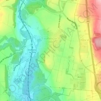
Name: Vufflens-la-Ville topographic map, elevation, terrain.
Location: Vufflens-la-Ville, District du Gros-de-Vaud, Vaud, 1302, Suisse (46.56019 6.52395 46.59031 6.55155)
Average elevation: 461 m
Minimum elevation: 397 m
Maximum elevation: 562 m