
Thank you for supporting this site ❤️
Make a donation
Make a donation
Tannheimer Tal topographic map
Click on the map to display elevation.
Thank you for supporting this site ❤️
Make a donation
Make a donation
About this map
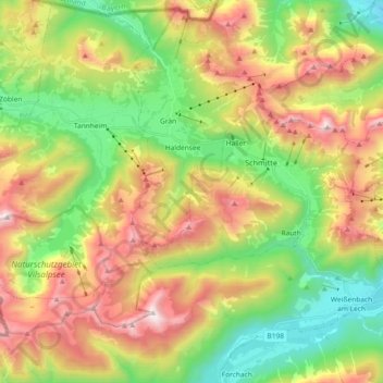
Name: Tannheimer Tal topographic map, elevation, terrain.
Location: Tannheimer Tal, Grän, Bezirk Reutte, Tirol, Österreich (47.43990 10.45188 47.52792 10.64375)
Average elevation: 1,432 m
Minimum elevation: 818 m
Maximum elevation: 2,242 m
Thank you for supporting this site ❤️
Make a donation
Make a donation