
Warud topographic map
Interactive map
Click on the map to display elevation.
About this map
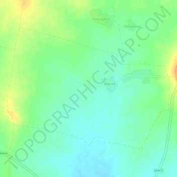
Name: Warud topographic map, elevation, terrain.
Location: Warud, Buldhana, Buldhana District, Maharashtra, India (20.41534 75.97830 20.43406 76.00469)
Average elevation: 594 m
Minimum elevation: 578 m
Maximum elevation: 616 m