
Montrose topographic map
Interactive map
Click on the map to display elevation.
About this map
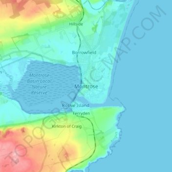
Name: Montrose topographic map, elevation, terrain.
Location: Montrose, Angus, Schottland, DD10 8QW, Vereinigtes Königreich (56.67143 -2.50815 56.75143 -2.42815)
Average elevation: 22 m
Minimum elevation: -2 m
Maximum elevation: 135 m