
Altstadt topographic map
Interactive map
Click on the map to display elevation.
About this map
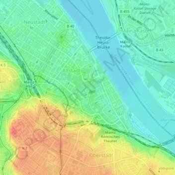
Name: Altstadt topographic map, elevation, terrain.
Location: Altstadt, Mainz, Rheinland-Pfalz, Alemanha (49.98762 8.26078 50.01151 8.29930)
Average elevation: 100 m
Minimum elevation: 79 m
Maximum elevation: 134 m