
Thank you for supporting this site ❤️
Make a donation
Make a donation
Serang topographic map
Click on the map to display elevation.
Thank you for supporting this site ❤️
Make a donation
Make a donation
About this map
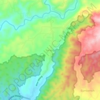
Name: Serang topographic map, elevation, terrain.
Location: Serang, Blitar, East Java, Java, Indonesia (-8.32033 112.22173 -8.28033 112.26173)
Average elevation: 116 m
Minimum elevation: 9 m
Maximum elevation: 271 m
Thank you for supporting this site ❤️
Make a donation
Make a donation