
Gay topographic map
Click on the map to display elevation.
About this map
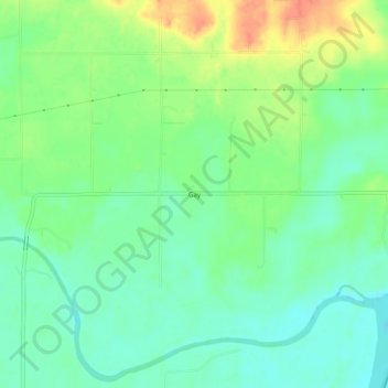
Name: Gay topographic map, elevation, terrain.
Location: Gay, Choctaw County, Oklahoma, United States (33.93344 -95.64135 33.97344 -95.60135)
Average elevation: 136 m
Minimum elevation: 118 m
Maximum elevation: 166 m