
Nettetal topographic map
Interactive map
Click on the map to display elevation.
About this map
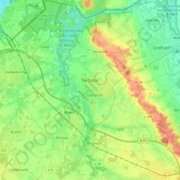
Name: Nettetal topographic map, elevation, terrain.
Location: Nettetal, Kreis Viersen, Nordrhein-Westfalen, 41334, Deutschland (51.25277 6.15382 51.36594 6.32656)
Average elevation: 51 m
Minimum elevation: 23 m
Maximum elevation: 101 m
Other topographic maps
Click on a map to view its topography, its elevation and its terrain.
Kempen
Deutschland > Nordrhein-Westfalen > Kreis Viersen
Kempen, Kreis Viersen, Nordrhein-Westfalen, 47906, Deutschland
Average elevation: 35 m