
Thank you for supporting this site ❤️
Make a donation
Make a donation
Karaganda topographic map
Click on the map to display elevation.
Thank you for supporting this site ❤️
Make a donation
Make a donation
Karaganda
Karaganda suffered the most severe electromagnetic pulse effects ever observed when its electrical power plant was set on fire by currents induced in a 1,000 km (620 mi) long shallow buried power cable by Soviet Test ‘184’ on 22 October 1962. The test was part of the Soviet Project K nuclear tests (ABM System A proof tests), and consisted of a 300-kiloton high-altitude nuclear explosion at an altitude of 290 km (180 mi) over Zhezkazgan.
Thank you for supporting this site ❤️
Make a donation
Make a donation
About this map
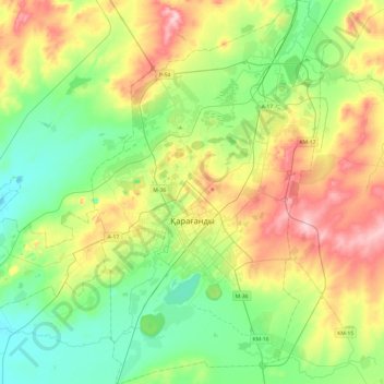
Name: Karaganda topographic map, elevation, terrain.
Location: Karaganda, Karaganda Region, Kazakhstan (49.68282 72.97522 49.99427 73.27738)
Average elevation: 542 m
Minimum elevation: 486 m
Maximum elevation: 645 m
Thank you for supporting this site ❤️
Make a donation
Make a donation