
Santow topographic map
Interactive map
Click on the map to display elevation.
About this map
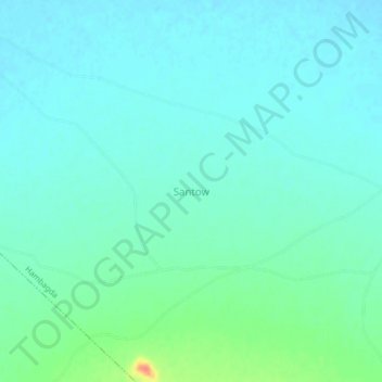
Name: Santow topographic map, elevation, terrain.
Location: Santow, Gwoza, Borno, Nigeria (11.01438 13.43206 11.05438 13.47206)
Average elevation: 404 m
Minimum elevation: 393 m
Maximum elevation: 444 m