
Jamboti topographic map
Click on the map to display elevation.
About this map
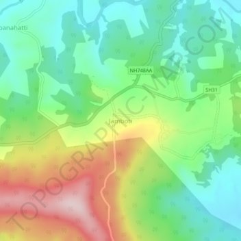
Name: Jamboti topographic map, elevation, terrain.
Location: Jamboti, Khanapura taluku, Belagavi, Karnataka, India (15.67059 74.34823 15.71059 74.38823)
Average elevation: 802 m
Minimum elevation: 687 m
Maximum elevation: 1,009 m