
Thank you for supporting this site ❤️
Make a donation
Make a donation
Frederic topographic map
Click on the map to display elevation.
Thank you for supporting this site ❤️
Make a donation
Make a donation
About this map
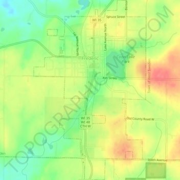
Name: Frederic topographic map, elevation, terrain.
Location: Frederic, Polk County, Wisconsin, United States (45.63750 -92.48149 45.66942 -92.45297)
Average elevation: 373 m
Minimum elevation: 340 m
Maximum elevation: 405 m
Thank you for supporting this site ❤️
Make a donation
Make a donation
Other topographic maps
Click on a map to view its topography, its elevation and its terrain.