
پیکان topographic map
Interactive map
Click on the map to display elevation.
About this map
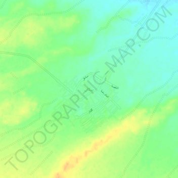
Name: پیکان topographic map, elevation, terrain.
Average elevation: 1,593 m
Minimum elevation: 1,579 m
Maximum elevation: 1,609 m
Other topographic maps
Click on a map to view its topography, its elevation and its terrain.
سعادت آباد
Iran > Isfahan Province > Isfahan County > دهستان جرقویه وسطی > سعادت آباد
سعادت آباد, دهستان جرقویه وسطی, بخش جرقویه سفلی, Isfahan County, Isfahan Province, Iran
Average elevation: 1,597 m