
Cesa topographic map
Interactive map
Click on the map to display elevation.
About this map
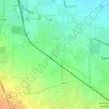
Name: Cesa topographic map, elevation, terrain.
Location: Cesa, Caserta, Campania, Italië (40.95049 14.21609 40.97018 14.24413)
Average elevation: 46 m
Minimum elevation: 29 m
Maximum elevation: 71 m
Other topographic maps
Click on a map to view its topography, its elevation and its terrain.