
Thank you for supporting this site ❤️
Make a donation
Make a donation
McBaine topographic map
Click on the map to display elevation.
Thank you for supporting this site ❤️
Make a donation
Make a donation
About this map
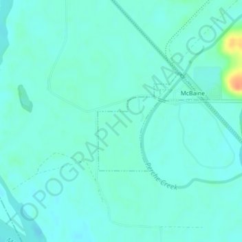
Name: McBaine topographic map, elevation, terrain.
Location: McBaine, Boone County, Missouri, United States (38.87830 -92.46024 38.88936 -92.44505)
Average elevation: 176 m
Minimum elevation: 168 m
Maximum elevation: 209 m
Thank you for supporting this site ❤️
Make a donation
Make a donation
Other topographic maps
Click on a map to view its topography, its elevation and its terrain.