
San Rafael. Cañada Seca. Atuel Norte topographic map
Interactive map
Click on the map to display elevation.
About this map
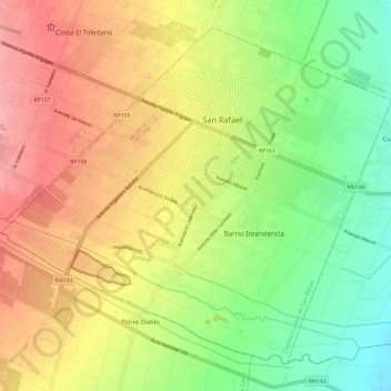
Name: San Rafael. Cañada Seca. Atuel Norte topographic map, elevation, terrain.
Average elevation: 695 m
Minimum elevation: 644 m
Maximum elevation: 749 m
Other topographic maps
Click on a map to view its topography, its elevation and its terrain.
Canal marginal del Río Diamante
Argentina > Mendoza > San Rafael
Canal marginal del Río Diamante, San Rafael. Cañada Seca. Atuel Norte, San Rafael, Departamento San Rafael, Mendoza, 5600, Argentina
Average elevation: 723 m