
Kattabettu topographic map
Interactive map
Click on the map to display elevation.
About this map
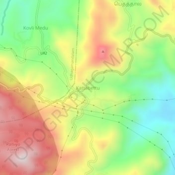
Name: Kattabettu topographic map, elevation, terrain.
Average elevation: 1,988 m
Minimum elevation: 1,683 m
Maximum elevation: 2,336 m
Other topographic maps
Click on a map to view its topography, its elevation and its terrain.
Kotagiri
India > Tamil Nadu > Kotagiri
Kotagiri, The Nilgiris District, Tamil Nadu, 643217, India
Average elevation: 1,781 m