
Thank you for supporting this site ❤️
Make a donation
Make a donation
Benzie County topographic map
Click on the map to display elevation.
Thank you for supporting this site ❤️
Make a donation
Make a donation
About this map
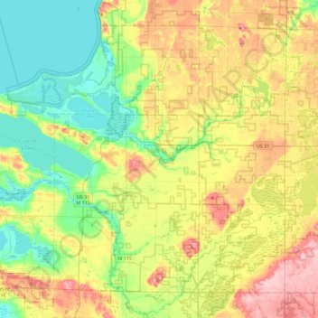
Name: Benzie County topographic map, elevation, terrain.
Location: Benzie County, Michigan, United States (44.51297 -86.25920 44.77836 -85.81504)
Average elevation: 241 m
Minimum elevation: 172 m
Maximum elevation: 352 m
Thank you for supporting this site ❤️
Make a donation
Make a donation
Other topographic maps
Click on a map to view its topography, its elevation and its terrain.