
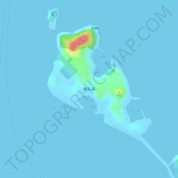
牛头岛 topographic map
Interactive map
Click on the map to display elevation.
About this map
Name: 牛头岛 topographic map, elevation, terrain.
Location: 牛头岛, 珠海万山海洋开发试验区, 香洲区, 珠海市, 广东省, 中国 (22.15827 113.79461 22.17792 113.81247)
Average elevation: 3 m
Minimum elevation: -2 m
Maximum elevation: 105 m
Other topographic maps
Click on a map to view its topography, its elevation and its terrain.