
Urb. El Castaño topographic map
Interactive map
Click on the map to display elevation.
About this map
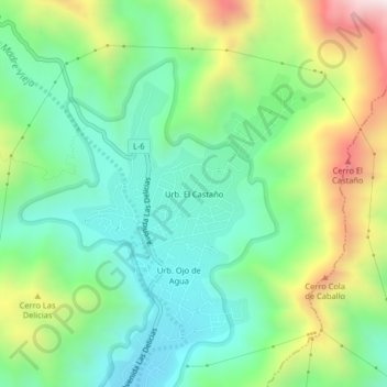
Name: Urb. El Castaño topographic map, elevation, terrain.
Average elevation: 817 m
Minimum elevation: 533 m
Maximum elevation: 1,393 m
Other topographic maps
Click on a map to view its topography, its elevation and its terrain.
Urb. El Toro
Venezuela > Estado Aragua > Municipio Girardot
Urb. El Toro, Parroquia Las Delicias, Municipio Girardot, Estado Aragua, 2101, Venezuela
Average elevation: 627 m