
Muhl topographic map
Interactive map
Click on the map to display elevation.
About this map
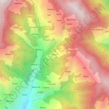
Name: Muhl topographic map, elevation, terrain.
Location: Muhl, Ani, Kullu District, Himachal Pradesh, 172026, Indien (31.46455 77.35542 31.50455 77.39542)
Average elevation: 2,251 m
Minimum elevation: 1,508 m
Maximum elevation: 2,797 m