
Thank you for supporting this site ❤️
Make a donation
Make a donation
Vazare topographic map
Click on the map to display elevation.
Thank you for supporting this site ❤️
Make a donation
Make a donation
About this map
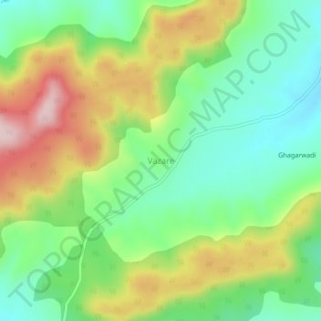
Name: Vazare topographic map, elevation, terrain.
Location: Vazare, Ajra, Kolhapur, Maharashtra, India (16.16135 74.16711 16.20135 74.20711)
Average elevation: 813 m
Minimum elevation: 704 m
Maximum elevation: 984 m
Thank you for supporting this site ❤️
Make a donation
Make a donation