
Jambhora topographic map
Interactive map
Click on the map to display elevation.
About this map
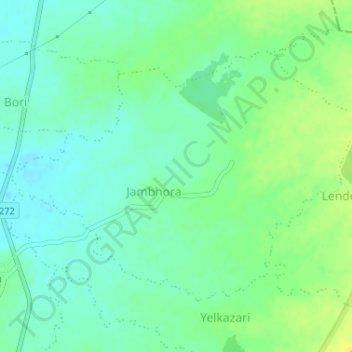
Name: Jambhora topographic map, elevation, terrain.
Location: Jambhora, Mohadi Taluka, Bhandara, Maharashtra, India (21.24025 79.80106 21.26167 79.83344)
Average elevation: 265 m
Minimum elevation: 256 m
Maximum elevation: 278 m