
Kagoma topographic map
Interactive map
Click on the map to display elevation.
About this map
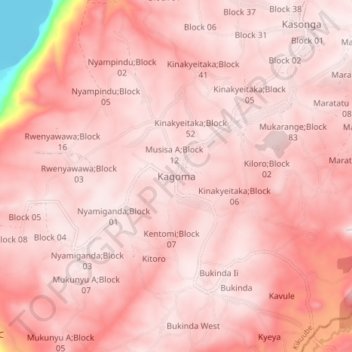
Name: Kagoma topographic map, elevation, terrain.
Location: Kagoma, Kikuube, Western Region, Ouganda (1.11439 30.71366 1.19439 30.79366)
Average elevation: 1,106 m
Minimum elevation: 613 m
Maximum elevation: 1,184 m