
Terani topographic map
Click on the map to display elevation.
About this map
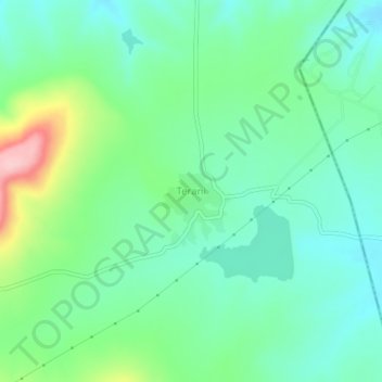
Name: Terani topographic map, elevation, terrain.
Location: Terani, Gadhinglaj, Kolhapur, Maharashtra, 416506, India (16.11233 74.44869 16.15233 74.48869)
Average elevation: 737 m
Minimum elevation: 689 m
Maximum elevation: 864 m
Other topographic maps
Click on a map to view its topography, its elevation and its terrain.