
Loco topographic map
Interactive map
Click on the map to display elevation.
About this map
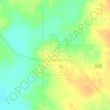
Name: Loco topographic map, elevation, terrain.
Location: Loco, Stephens County, Oklahoma, États-Unis d'Amérique (34.32551 -97.68485 34.33532 -97.67616)
Average elevation: 288 m
Minimum elevation: 271 m
Maximum elevation: 304 m