
Khaiti Ahmed topographic map
Interactive map
Click on the map to display elevation.
About this map
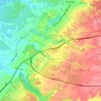
Name: Khaiti Ahmed topographic map, elevation, terrain.
Location: Khaiti Ahmed, Staoueli, Daïra Zéralda, Alger, 16102, Algérie (36.71391 2.85846 36.75391 2.89846)
Average elevation: 62 m
Minimum elevation: 9 m
Maximum elevation: 111 m