
Fort Meade topographic map
Interactive map
Click on the map to display elevation.
About this map
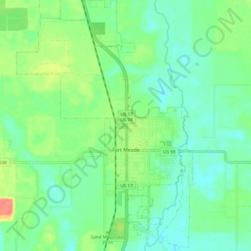
Name: Fort Meade topographic map, elevation, terrain.
Location: Fort Meade, Polk County, Floride, États-Unis d'Amérique (27.71892 -81.84238 27.80140 -81.77697)
Average elevation: 39 m
Minimum elevation: 19 m
Maximum elevation: 86 m
Other topographic maps
Click on a map to view its topography, its elevation and its terrain.
Fort Meade
États-Unis d'Amérique > Floride > Polk County > Fort Meade
Fort Meade, Polk County, Floride, 33841, États-Unis d'Amérique
Average elevation: 40 m
Winter Haven
États-Unis d'Amérique > Floride > Polk County > Winter Haven
Winter Haven, Polk County, Floride, États-Unis d'Amérique
Average elevation: 40 m