
Clarenville topographic map
Interactive map
Click on the map to display elevation.
About this map
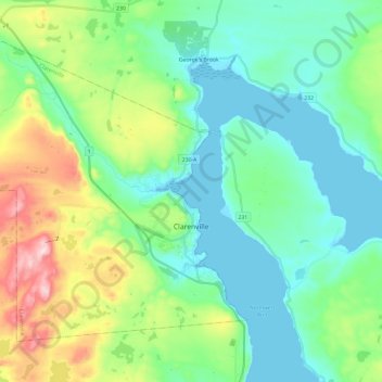
Name: Clarenville topographic map, elevation, terrain.
Location: Clarenville, Newfoundland and Labrador, Canada (48.12058 -54.16624 48.24394 -53.93048)
Average elevation: 102 m
Minimum elevation: 0 m
Maximum elevation: 399 m