
Thank you for supporting this site ❤️
Make a donation
Make a donation
Mnolela topographic map
Click on the map to display elevation.
Thank you for supporting this site ❤️
Make a donation
Make a donation
About this map
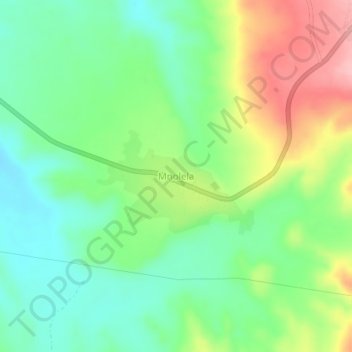
Name: Mnolela topographic map, elevation, terrain.
Location: Mnolela, Lindi, Lindi Region, Coastal Zone, Tanzania (-10.24517 39.71730 -10.20517 39.75730)
Average elevation: 145 m
Minimum elevation: 90 m
Maximum elevation: 238 m
Thank you for supporting this site ❤️
Make a donation
Make a donation
Other topographic maps
Click on a map to view its topography, its elevation and its terrain.