
Gola-Pangri topographic map
Interactive map
Click on the map to display elevation.
About this map
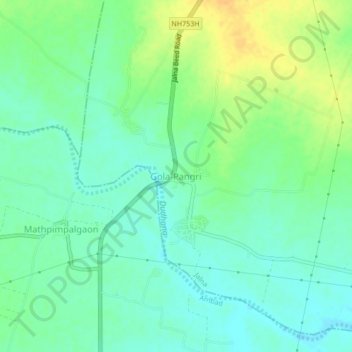
Name: Gola-Pangri topographic map, elevation, terrain.
Location: Gola-Pangri, Jalna, Maharashtra, India (19.71324 75.81843 19.75324 75.85843)
Average elevation: 481 m
Minimum elevation: 469 m
Maximum elevation: 499 m
Other topographic maps
Click on a map to view its topography, its elevation and its terrain.