
Egbert topographic map
Interactive map
Click on the map to display elevation.
About this map
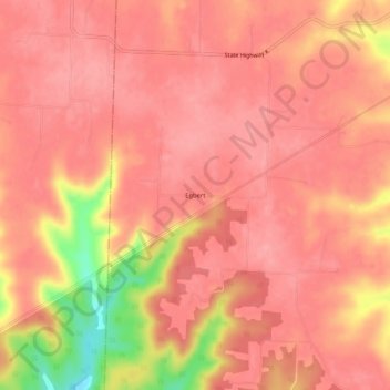
Name: Egbert topographic map, elevation, terrain.
Location: Egbert, Montgomery County, Missouri, United States (38.73977 -91.65350 38.77977 -91.61350)
Average elevation: 262 m
Minimum elevation: 183 m
Maximum elevation: 283 m