
Cunduacán topographic map
Interactive map
Click on the map to display elevation.
About this map
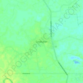
Name: Cunduacán topographic map, elevation, terrain.
Location: Cunduacán, Tabasco, 86690, México (18.02606 -93.21368 18.10606 -93.13368)
Average elevation: 11 m
Minimum elevation: 4 m
Maximum elevation: 20 m
Other topographic maps
Click on a map to view its topography, its elevation and its terrain.