
Ballymahon topographic map
Interactive map
Click on the map to display elevation.
About this map
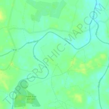
Name: Ballymahon topographic map, elevation, terrain.
Average elevation: 66 m
Minimum elevation: 59 m
Maximum elevation: 75 m
Other topographic maps
Click on a map to view its topography, its elevation and its terrain.
The Municipal District of Navan
The Municipal District of Navan, County Meath, Leinster, Irland
Average elevation: 62 m