
Jadupur topographic map
Interactive map
Click on the map to display elevation.
About this map
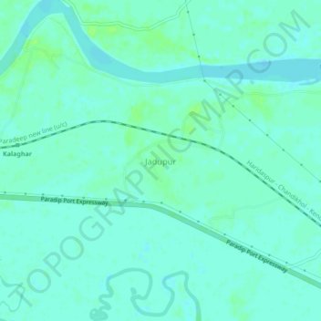
Name: Jadupur topographic map, elevation, terrain.
Location: Jadupur, Marsaghai, Kendrapara, Odisha, India (20.36015 86.50918 20.40015 86.54918)
Average elevation: 4 m
Minimum elevation: 0 m
Maximum elevation: 9 m