
Miyenze topographic map
Interactive map
Click on the map to display elevation.
About this map
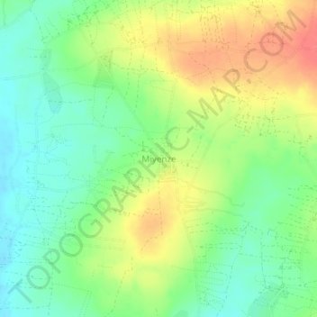
Name: Miyenze topographic map, elevation, terrain.
Location: Miyenze, Bukombe, Geita, Seezone, Tansania (-3.38286 31.91194 -3.34286 31.95194)
Average elevation: 1,239 m
Minimum elevation: 1,214 m
Maximum elevation: 1,271 m
Other topographic maps
Click on a map to view its topography, its elevation and its terrain.