
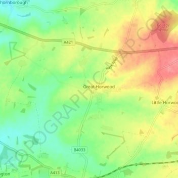
Great Horwood topographic map
Interactive map
Click on the map to display elevation.
About this map
Name: Great Horwood topographic map, elevation, terrain.
Location: Great Horwood, Buckinghamshire, England, United Kingdom (51.95136 -0.91007 51.99556 -0.83330)
Average elevation: 114 m
Minimum elevation: 81 m
Maximum elevation: 156 m