
Vieselbach topographic map
Interactive map
Click on the map to display elevation.
About this map
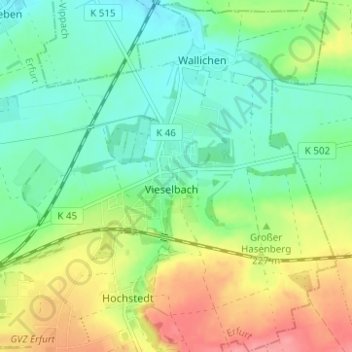
Name: Vieselbach topographic map, elevation, terrain.
Location: Vieselbach, Erfurt, Thüringen, Deutschland (50.97945 11.12012 51.01849 11.17514)
Average elevation: 211 m
Minimum elevation: 181 m
Maximum elevation: 263 m