
Holter Berg topographic map
Interactive map
Click on the map to display elevation.
About this map
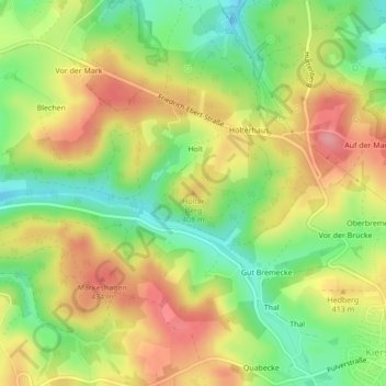
Name: Holter Berg topographic map, elevation, terrain.
Average elevation: 392 m
Minimum elevation: 339 m
Maximum elevation: 444 m
Other topographic maps
Click on a map to view its topography, its elevation and its terrain.
Feld
Duitsland > Noordrijn-Westfalen > Kierspe > Feld
Feld, Kierspe, Märkischer Kreis, Noordrijn-Westfalen, 58566, Duitsland
Average elevation: 361 m