
Tarakund topographic map
Click on the map to display elevation.
About this map
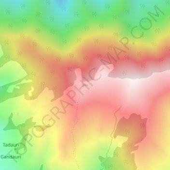
Name: Tarakund topographic map, elevation, terrain.
Location: Tarakund, Thailisain, Pauri Garhwal, Uttarakhand, India (30.14110 79.03439 30.14165 79.03574)
Average elevation: 2,127 m
Minimum elevation: 1,647 m
Maximum elevation: 2,507 m
Other topographic maps
Click on a map to view its topography, its elevation and its terrain.