
Winkel topographic map
Interactive map
Click on the map to display elevation.
About this map
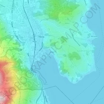
Name: Winkel topographic map, elevation, terrain.
Location: Winkel, Kastanienbaum, Horw, Luzern, 6048, Schweiz (46.99261 8.29674 47.03261 8.33674)
Average elevation: 500 m
Minimum elevation: 425 m
Maximum elevation: 908 m