
Lokoja topographic map
Interactive map
Click on the map to display elevation.
About this map
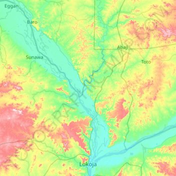
Name: Lokoja topographic map, elevation, terrain.
Location: Lokoja, Kogi, Nigeria (7.73033 6.11312 8.73879 6.79215)
Average elevation: 166 m
Minimum elevation: 33 m
Maximum elevation: 567 m
Other topographic maps
Click on a map to view its topography, its elevation and its terrain.