
Zwettl topographic map
Interactive map
Click on the map to display elevation.
About this map
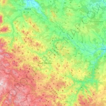
Name: Zwettl topographic map, elevation, terrain.
Location: Zwettl, Bezirk Zwettl, Niederösterreich, 3910, Österreich (48.59362 14.94996 48.63571 15.16895)
Average elevation: 646 m
Minimum elevation: 514 m
Maximum elevation: 802 m