
Maienpfuhl topographic map
Interactive map
Click on the map to display elevation.
About this map
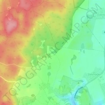
Name: Maienpfuhl topographic map, elevation, terrain.
Average elevation: 61 m
Minimum elevation: 9 m
Maximum elevation: 123 m
Other topographic maps
Click on a map to view its topography, its elevation and its terrain.
Albrechtsberg
Deutschland > Brandenburg > Barnim > Oderberg
Albrechtsberg, Oderberg, Britz-Chorin-Oderberg, Barnim, Brandenburg, 16248, Deutschland
Average elevation: 23 m