
Limmerensee topographic map
Interactive map
Click on the map to display elevation.
About this map
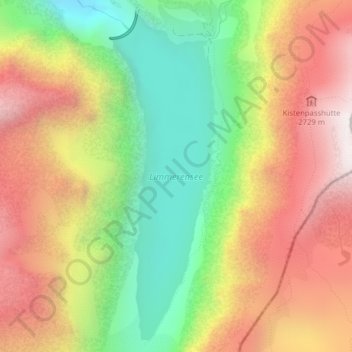
Name: Limmerensee topographic map, elevation, terrain.
Location: Limmerensee, Glarus Süd, Glarus, Switzerland (46.82203 9.00680 46.84727 9.01883)
Average elevation: 2,263 m
Minimum elevation: 1,658 m
Maximum elevation: 2,886 m