
Lalbagh topographic map
Interactive map
Click on the map to display elevation.
About this map
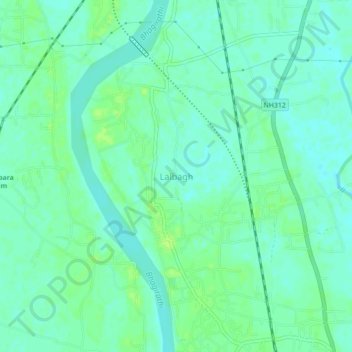
Name: Lalbagh topographic map, elevation, terrain.
Location: Lalbagh, Murshidabad, West Bengal, 742149, India (24.17960 88.24880 24.21960 88.28880)
Average elevation: 21 m
Minimum elevation: 15 m
Maximum elevation: 27 m