
Sterling River topographic map
Interactive map
Click on the map to display elevation.
About this map
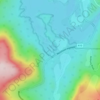
Name: Sterling River topographic map, elevation, terrain.
Location: Sterling River, Tullah, West Coast, Tasmanien, Australien (-41.77103 145.60635 -41.76377 145.60986)
Average elevation: 246 m
Minimum elevation: 153 m
Maximum elevation: 544 m